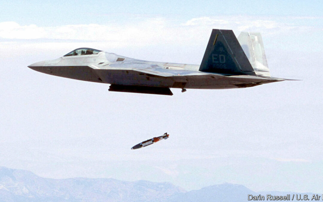
THE NAVSTAR GLOBAL POSITIONING SYSTEM, commonly known as GPS, is familiar to many smartphone users as the technology behind the blue location dot on map apps. But GPS, which is operated by the American space force, was designed for the military. Since its launch in 1978 it has been joined by European, Russian and Chinese equivalents, all using the same basic technology: radio signals from a constellation of satellites. A more secure version of commercial GPS guides JDAM bombs, Excalibur precision-guided artillery rounds and GMLRS rockets, all used in large numbers by Ukraine. But these weapons frequently have their location systems blocked by the Russians—sometimes models thought to be invulnerable have been affected. What are the military alternatives to GPS?
Radio signals from GPS satellites are weak, meaning that an enemy can disrupt the system by drowning it out with competing radio noise. Military-grade versions use “M-code”, a military signal, and some have directional antennas, angled upwards towards the source of the signal, and noise filters to guard against jamming. But Pentagon reports leaked in the spring revealed that even some American weapons designed to prevent jamming have missed their targets in Ukraine.
Dana Goward, an adviser to the American government and president of the Resilient Navigation and Timing Foundation, a non-profit, says generals have been warning Congress for years that the army is too dependent on GPS. Possible alternatives and back-up systems have been mooted, including eLORAN, a radio navigation system that uses more powerful ground-based signals, which are much harder to jam but require far more transmitters. It would not, however, be compatible with GPS, and the proposal has been bogged down in discussion.
Other alternatives are already in use. The most common is inertial navigation: Shahed-136s, Iranian-made loitering munitions procured by Russia, use it, and America’s military-grade GPS has it as a back-up system. Sensors in the weapon measure its acceleration and use this to calculate its speed and direction and hence where it is in relation to its starting-point. Inertial navigation is effective, but suffers from “drift”: small errors in measuring acceleration rapidly produce larger errors in location. High-quality inertial-navigation systems are extremely expensive.
Other approaches rely on visible landmarks. The Tomahawk cruise missile—an American munition designed before the development of GPS—uses terrain-contour matching, or TERCOM, to find its way, identifying hills and valleys below it. For the final approach to a target it compares the view from a video camera with satellite images of the area. No Tomahawks have been shipped to Ukraine. But some small drones can also navigate visually, using a video feed throughout their flight: they can identify landmarks and estimate their speed and direction from the movement of the ground below them.
Such advanced systems are rare, but will probably become more common as more powerful algorithms fit onto smaller and cheaper chips. American-made Golden Eagle quadcopters first supplied to Ukraine have this type of GPS-free navigation as part of their latest model, and some sources claim that Russian Lancet loitering munitions also use it. But the downside of visual guidance (at least for attacks) is that it relies on having a clear view of the target: it can be thwarted by smoke, dust, fog or other impediments.
Armies are working to improve these alternatives to GPS, for example using quantum sensors to make inertial navigation more effective, and developing new systems, including a navigation system based on the Earth’s magnetic field. The easiest way to replace GPS will probably be a combination of these technologies. For existing weapons, developing new guidance systems and retrofitting them to existing munitions will take years to do at scale. In the meantime, the leaked Pentagon reports on jamming in Ukraine propose a simpler solution: bomb the jammers. ■


